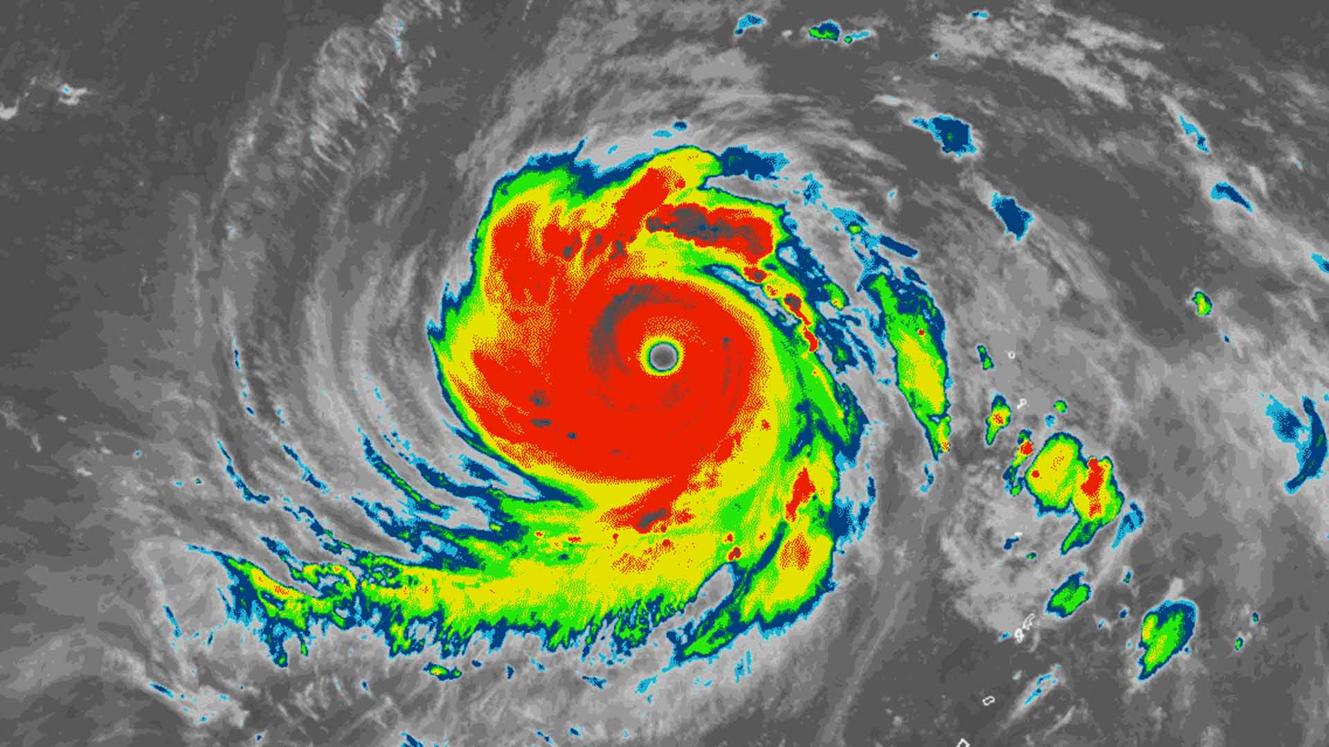
“Sarah” has intensified into a severe tropical storm Thursday as tropical cyclone wind signal no. 1 is hoisted over Batanes and Babuyan Islands.
In its 5 a.m. severe weather bulletin, the Philippine Atmospheric, Geophysical and Astronomical Services Administration said Sarah would bring light to moderate rains with some isolated heavy rain showers over Metro Manila, most of Central Luzon, the provinces of Isabela and Cagayan, Aurora, and northern Quezon.
At 4 a.m., Sarah was last spotted at 425 kilometers east northeast of Aparri, Cagayan. It is moving north northwest at 25 kph with maximum sustained winds of 95 kph near the center and gustiness of up to 115 kph.
Sarah is forecast to weaken over the weekend and exit the Philippine Area of Responsibility on Saturday. (PNA)


