


A team from the Department of Environment and Natural Resources-Mines and Geosciences Bureau-Western Visayas (DENR-MGB Region 6) is conducting a vulnerability and risk assessment (VRA) here as part of the process to update the city’s geohazard map.
Ram Vera, chief of City Disaster Risk Reduction and Management Office (CDRRMO) Research and Planning Section, said on Wednesday there is a need to update the city’s susceptibility status since its existing geohazard map is already 11 years old.
“Our last susceptibility map was in 2013 yet. It’s now 2024, many developments have already taken place in the city,” Vera said in a telephone interview.
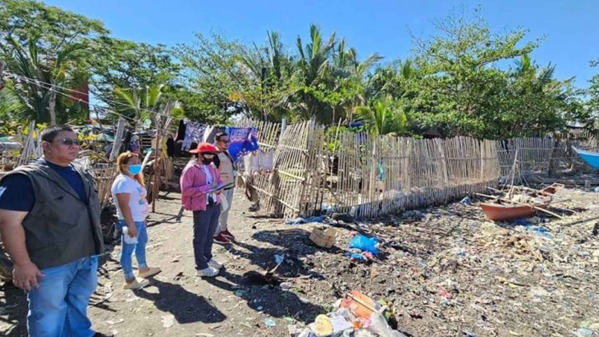
On Wednesday, the assessment started in the first 10 barangays and the next 11 villages will be covered on Thursday.
Vera said the rest of the city’s 61 barangays will be assessed within two months.
Geologist II ER Ramos leads the DENR-MGB team in conducting the VRA, which involves a more expansive look at risk exposures of areas, to update Bacolod’s susceptibility map on a scale of 1:10,000, indicating the level of susceptibility of barangays and sitios to landslides and flooding.
According to the DENR-MGB, the VRA is an assessment of the degree of vulnerability and potential risks of an area given the exposure to three elements –population, built-up areas and roads.
With the available data, the VRA produces predictive information on the number of population, extent of built-up areas, and roads that would be affected given their exposure to the varying levels of vulnerability, in the occurrence of rain-induced landslides and floods.
The geohazard map provides information on how susceptible a particular location is to these natural hazards.
Local planners and managers have used the geohazard maps as guide in planning, identifying safe areas for building, evacuation sites, and development, and formulating mitigation and disaster management programs towards more resilient communities, it added. (PNA)

